Welcome to Get Spatial!
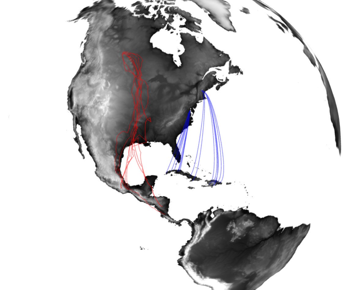
Welcome to Get Spatial! Using R as GIS. This material is intended to introduce you to the different spatial data types and how to create, read, manipulate and analyze spatial data in R. The exercises are geared towards analyses that are commonly found in the field of ornithology but are likely applicable to other fields as well. The lessons / activities range in complexity from reading in XY coordinates and making a shapefile to generating origin assignments using stable-isotopes.
Why use R as GIS?
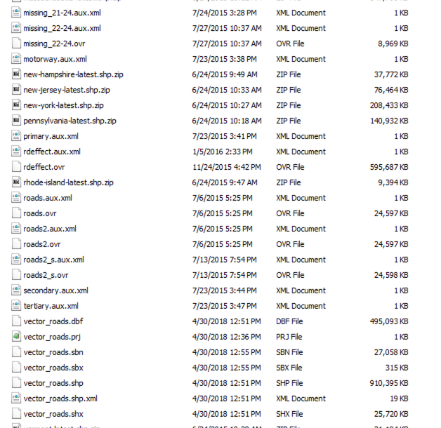
There are lots of reasons to learn how to do spatial analyses and make maps in R. For starters, R is free while some other programs (ESRI’s ArcMap, for example) are not. If you’re not affiliated with a university, governmental organization or something agency you may not have access to ArcMap. Another reason to use R is to have a script or documentation for all the steps in your analyses or for making a map - you can also write python scripts to run in ArcMap but I’d guess most users/practiciners don’t. Finaly, when running analyses in R you don’t have to save as many intermediate files like you do in ArcMap. The following files may look similar to what you have in your directories.
This workshop assumes the user has a general understanding of the R language. See R basics for reference.
R Skill Level: Intermediate - this activity assumes you have a working knowledge of R
Data
Be sure to download spatial layers used in this workshop
Download data [100.3 MB]
Etherpad
We’ll be using Etherpad to keep track of questions / comments / concerns / tips. Join the discussion on the Get Spatial! Etherpad